Unit outcomes
Pupils who are secure will be able to:
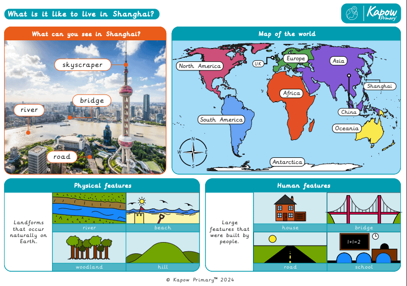
- Give examples of human and physical features.
- Identify features they see on a walk.
- Explain the location of features using some directional language.
- Use an aerial photograph to locate physical and human features.
- Draw simple pictures or symbols on a sketch map.
- Draw compass points.
- Name the continent they live in.
- Use an atlas to locate the UK and China on a world map.
- Use an atlas to locate Europe and Asia on a world map.
- Identify China’s physical and human geography.
- Sort physical and human features using photographs.
- Identify physical and human features in images of Shanghai.
- Compare Shanghai to their locality.
- Identify similarities and differences between human and physical features.
Lesson 1 involves fieldwork in the area surrounding the school. It is important to risk-assess the proposed route taking into account any relevant school risk assessment policies and procedures. Please be aware that lesson 1 may take longer than 1 hour.
Lesson 1 requires a device to take photographs (one per group).
Suggested prior learning
Y1/2 (B): Would you prefer to live in a hot or cold place?
Get startedLessons
Y1/2 (B): Lesson 1: What can we see in our local area?
Y1/2 (B): Lesson 2: Can we map our local area?
Y1/2 (B): Lesson 3: Where in the world is China?
Y1/2 (B): Lesson 4: What can you see in China?
Y1/2 (B): Lesson 5: What is Shanghai like?
Y1/2 (B): Lesson 6: How is Shanghai different from our local area?
Key skills
- Locating two

This content is for subscribers only. Join for access today.
Key knowledge
- To know the name
This content is for subscribers only. Join for access today.
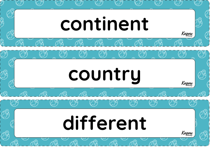
Key vocabulary
continent
country
This content is for subscribers only. Join for access today.
Related content
Unit resources

Knowledge organiser: Geography – Y1 What is it like to live in Shanghai?
Aimed at pupils, a single page which gives key facts and definitions from the What is it like to live…
Vocabulary display – Geography Y1: What is it like to live in Shanghai?
A display version of the vocabulary from the unit ‘What is it like to live in Shanghai?’.
Subject resources
This content is for subscribers only. Join for access today.
Cross-curricular opportunities
Art and design
English: Spoken language
Maths: Geometry – position and direction